
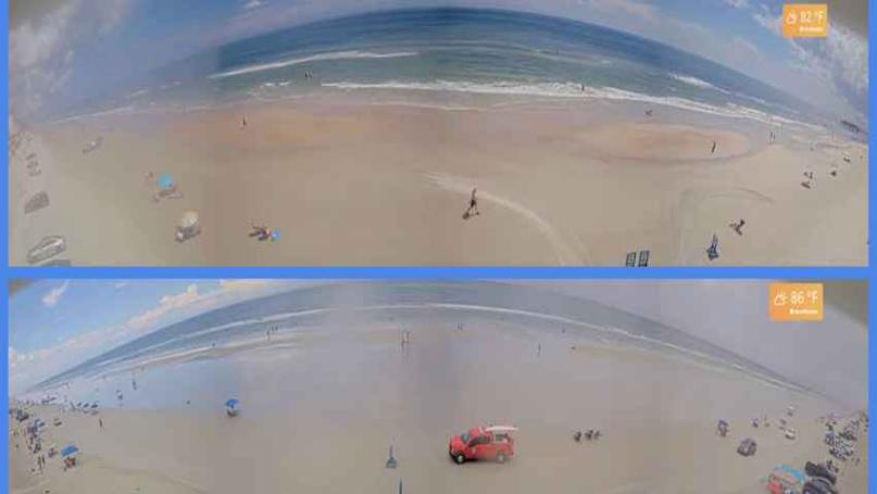
Photos for Headline Surfer / Screenshots of Volusia County beaches: Top: Dunlawton Avenue beach ramp camshot in Daytona Beach Shores; Bottom: Flagler Avenue ramp camshot in New Smyrna Beach, both around 2 p.m. Sunday, Sept. 7, 2025.
By SERA KING / Headline Surfer
ORLANDO, Fla. -- The weather outlook for the week ahead calls for showers and thunderstorms, so get those umbrellas out and be mindful of lightning strikes if you decide to go to the beach.
Here is the latest forecast from the National Weather Service for greater Orlando and Daytona Beach:
Tonight: Showers and thunderstorms are likely, mainly before 11 pm. Some of the storms could produce heavy rainfall. Mostly cloudy, with a low around 74. East wind around 5 mph, becoming calm in the evening. The chance of precipitation is 60%. New rainfall amounts between 1 and 2 inches are possible.
Monday: Showers and thunderstorms are likely, then showers and possibly a thunderstorm are expected after 5 pm. High near 88. Calm wind becoming north northeast around 5 mph in the morning. The chance of precipitation is 80%. New rainfall amounts between a quarter and half of an inch are possible.
Monday Night: Showers likely and possibly a thunderstorm before 8pm, then a chance of showers and thunderstorms, mainly between 8pm and 2am. Mostly cloudy, with a low around 73. North wind around 5 mph. The chance of precipitation is 60%. New rainfall amounts between a quarter and half an inch are possible.
Tuesday: A chance of showers and thunderstorms, then showers and possibly a thunderstorm after 2 pm. High near 89. Northeast wind around 5 mph, becoming east southeast in the afternoon. The chance of precipitation is 80%.
Tuesday Night: Showers and possibly a thunderstorm before 8pm, then a chance of showers and thunderstorms, mainly between 8pm and 2am. Low around 74. Northeast wind around 5 mph. The chance of precipitation is 80%.
Wednesday: A chance of showers and thunderstorms, then showers and possibly a thunderstorm after 2 pm. High near 89. North wind around 5 mph. The chance of precipitation is 80%.
Wednesday Night: Showers and possibly a thunderstorm are expected before 8 pm, followed by a chance of showers and thunderstorms, mainly between 8 pm and 2 am. Low around 74. North northeast wind around 5 mph. The chance of precipitation is 80%.
Thursday: Showers and thunderstorms likely, mainly after 2pm. Partly sunny, with a high near 87. North northeast wind 5 to 10 mph. The chance of precipitation is 70%.
Thursday Night: Showers and thunderstorms likely, mainly before 8pm. Mostly cloudy, with a low around 73. North wind 5 to 10 mph. The chance of precipitation is 60%.
Friday: A 50 percent chance of showers and thunderstorms, mainly after 8am. Partly sunny, with a high near 88. North northeast wind 5 to 10 mph.
Friday Night: A 30 percent chance of showers and thunderstorms. Partly cloudy, with a low around 72. North wind 5 to 10 mph.
Saturday: A 50 percent chance of showers and thunderstorms. Mostly sunny, with a high near 88. North northeast wind 5 to 10 mph, with gusts as high as 20 mph.
Saturday Night: A 30 percent chance of showers and thunderstorms. Partly cloudy, with a low around 72. North northeast wind 5 to 10 mph.
Sunday: A 40 percent chance of showers and thunderstorms. Mostly sunny, with a high near 88. North northeast wind 5 to 10 mph, with gusts as high as 20 mph.
 About the Byline Writer: